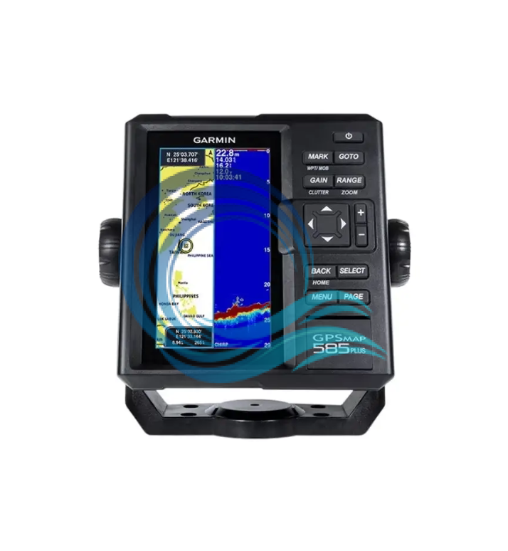
Spesifikasi Garmin GPSMAP 585 Plus GT20-TM + GA38
Physical & Performance
Physical Dimensions 176.0 mm x 190.0 mm x 66.0 mm (6.93” x 7.48” x 2.60”)
Screen size (W x H) (px) 2.83″ x 5.36″; 6.0″ diagonal (72.0 mm x 136.2 mm; 152.4 mm diagonal)
Screen resolution (W x H) (px) 480 x 800 pixels
Screen type WVGA screen
Weight 816.0 g (1.80 lbs)
Water resistance level IPX7
Receiver GPS GPS/GLONASS/BeiDou, internal
Compatible with NMEA 0183/RS422 ✔
Power consumption 7.6 W
Voltage range 10V – 36V DC input
Mounting options Hang or embed
Maps & Memories
The map has been loaded GPSMAP 585 Plus, APAC (world basemap)
Receive data card 2 standard SDs
Waypoints 12000
Route 200
Path log one 50,000 active tracking points; 100 saved tracks
Chartplotter Features
Compatible with Garmin Sonar ✔
Supports AIS (tracking target ship position) ✔
Supports DSC (displays position data from VHF radios with DSC capabilities) ✔
Wave table ✔
Sonar Features & Specifications
Distributing power 600W (RMS)
Sonar Frequency 50/77/200kHz CHIRP (Low, Mid, High)
ClearVü™ (default)
Scanning Sonar Frequency CHIRP 260/455/800kHz
Maximum depth 2,300 feet, fresh water, 1,100 feet, salt water (depth capacity depends on bottom type and other water conditions)
Bottom key (indicates the beam returning from bottom to top) ✔
Water temperature log and graph ✔
Split screen zoom ✔
Fish ID Symbol (helps identify target fish) ✔
Sonar recording ✔
Sonar history playback ✔
Connection
Number of Transducer Connector Pins 8
8-Pin/NMEA 0183 Power Connector 1
BNC for External GPS Antenna 1
Aksesoris Garmin GPSMAP 585 Plus GT20-TM + GA38
Antena – GA38
Transduser – GT20-TM
Kabel power/data
Dudukan atau bracket bail
Hardware
Dokumentasi